After last weeks MKS23 Detailed Routes on Geo-Map (http://scn.sap.com/community/scm/transportation-management/blog/2012/12/03/monday-knowledge-snippet-...), you know how to setup SAP TM to show real-street routes (or even real ocean routes :-)). Wouldn't it be nice to see your vehicle resources moving on those streets? Maybe with a real-time position? At least the first SAP TM 9.0 live custoemrs like that a lot!
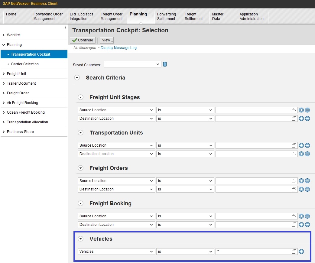
So here we go: In TM vehicle resources can be displayed on the SAP Visual Business geo-map in the Transportation Cockpit under planning. Even if they are master data and therefore a candidate for the Transportation Network Cockpit, their real-position comes into play when doing planning on them. So for example you want to have a vevicle resource tracking only, you can simply configure the cockpit in a way that it only shows these resources:
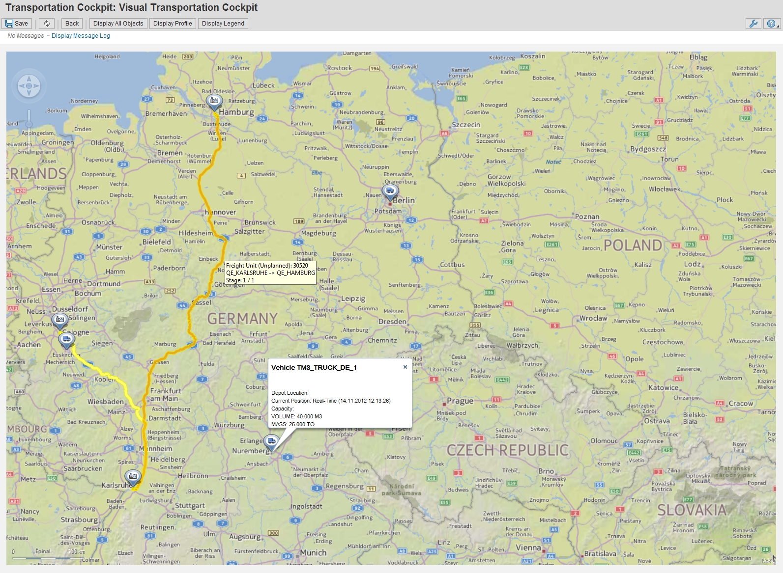
Which results after displaying all selected resources on the geo-map in this:

Of course it brings much more value, if you relate the vehicle resource position to running tours, new orders and other resources.
So where do those positions come from?
In general the sequence, how the system looks up vehicle positions is as follows:
1. Enhancement Spot
2. SAP TM internal resource position table
3. Home / Depot Location
4. Zero
In standard, the real-time positions can come from the SAP Event Management - SAP Transportation Management integration scenario. Using SAP EM, you can receive those coordinates for any event message and pass it to the Transportation Order. Under the tab 'Execution Information' you can see the related events. During this integration, the vehicle resource positions are stored in database table /SCMTMS/RES_POS.
In case this integration is no fitting to the customer needs (maybe a direct GPS position integration is preferred), it is possible to use RFC enabled function module /SCMTMS/RES_POSITION_UPDATE to push data from the outside into SAP TM. The other way around, to pull the data when it is needed from the external source, is also supported by using enhancement spot /SCMTMS/ES_GET_VEHICLE_POS. Note that the pull-mode tends to be slow.
To clean-up the resource position after they are outdated, you can use report /SCMTMS/RES_POSITION_CLEANUP.
I think a great support for manual planning and a scenario overview! I in addition see a lot of potential to grow here, especially when using tis data in adaptive planning and reacting better to for example traffic information. So more to come in the next releases. Or a great chance for partners to add value to SAP TM.
